Aero App
Utvecklare: National Geospatial-Intelligence Agency
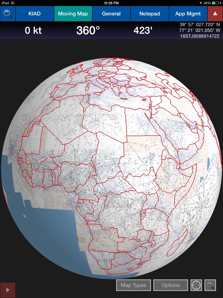
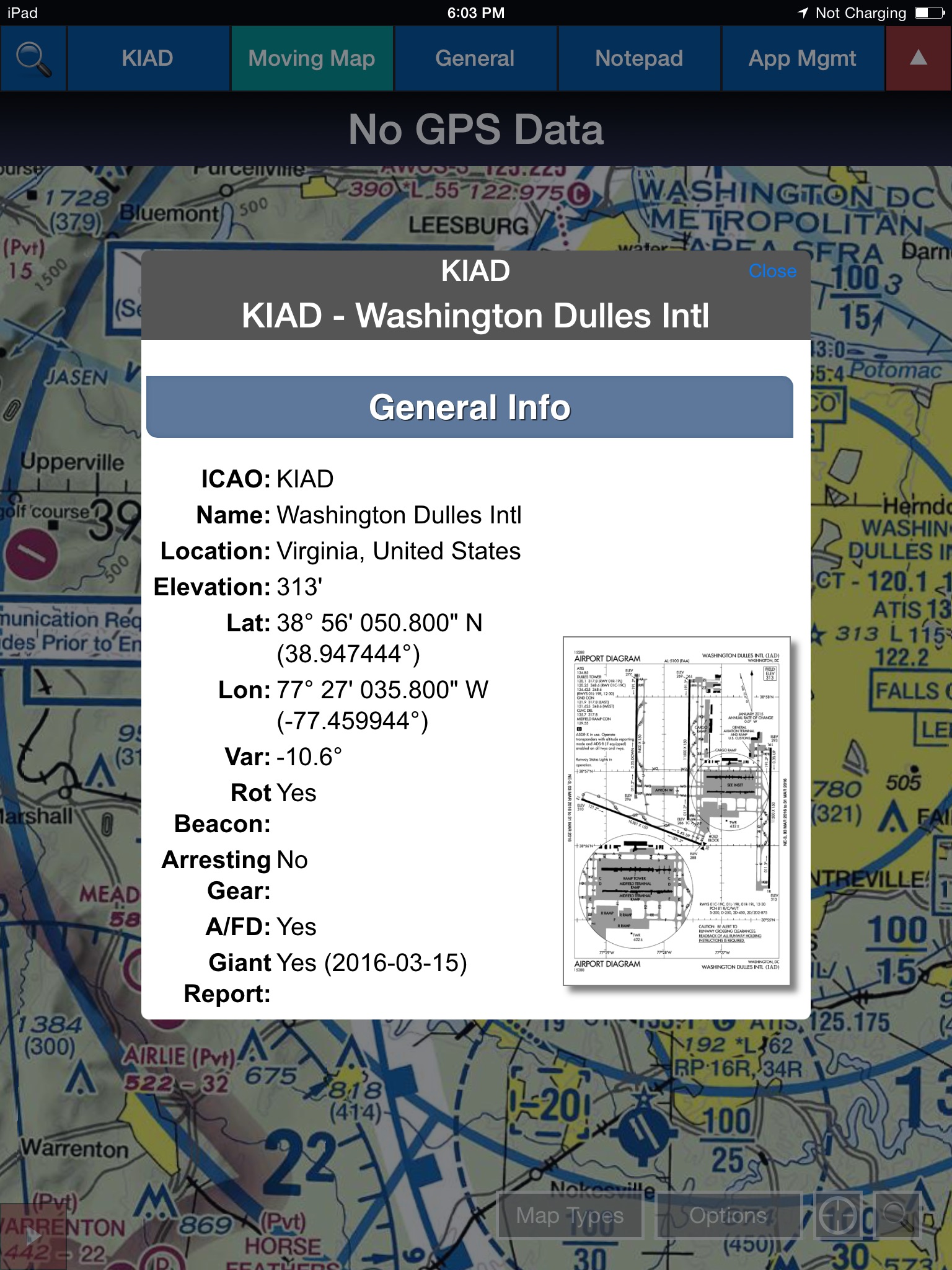
The NGA Aeronautical Application (Aero App) is an Electronic Flight Bag (EFB) mobile application developed by and for the DOD and FAA flight crews. The Application provides flight crews with the flight publications and data required to execute the unique mission of the U.S. War Fighter. Aero App increases situational awareness and improves safety of navigation by providing easy access to aeronautical information including Digital Aeronautical Flight Information File (DAFIF), Digital Flight Information Publications (D-FLIP) products, including Georeferenced Airport Diagrams and Instrument Approach Procedures (IAPs), Arrival Procedures, Departure Procedures, Takeoff and Landing Minimums, Supplements, Airfield Qualification Program (AQP), Giant Reports, Electronic-Instrument Procedure Library and Host Nation Charts. Aero App is designed to enhance the use of aeronautical Flight Information Publication (FLIP) data and manage individual FLIP products.
As the worlds authoritative source for aeronautical data, NGA is able to provide flight crews access to data on over 47,000 airfields worldwide via the application. In addition, the Aero App features an integrated E6B flight computer for flight planning on the ground and in the air calculations; a note pad; access to user documents and custom user maps. Connect to the internet, GPS or an ADS-B device to view traffic and weather information such as NOTAMs, METARs, TAFs, and Air Force weather. Overlay navigational data on the Moving Map such as Military Training Routes, Air Refueling Routes, Contract Fuel Locations, Terrain, Special Use Airspaces and much, much more.
Aero App is FREE and authorized for the following: US military, government agencies, Civil Air Patrol, foreign military partners and contractors flying missions in support of the DOD.
For more information on the NGA Aero App visit https://aeroapp.info.


